


October 2-3, 2021
PALISADE FALLS in GALLATIN NATIONAL FOREST
Bozeman, MT 59715
“Founded in 1899, Gallatin National Forest is located in south central Montana, United States. The forest comprises 1,819,515 acres and has portions of both the Absaroka-Beartooth and Lee Metcalf Wilderness areas within its boundaries.” Wikipedia
It was a beautiful fall, Saturday, afternoon and I was looking for some place outdoors to visit. I had read about Palisade Falls and decided to venture out to try to find it. I put Palisade Falls into my Garmin GPS, and off I went. When the Garmin told me to turn into the entrance of the Gallatin National Forest I figured it knew where I should go. After about six-miles into the park, Garmin told me the falls were just ahead on my right. As I approached what it said was the falls I thought it strange that there were no signs announcing the falls, and in fact Garmin had directed me to a parking lot of a remote camping area along a really nice creek. I had no cell coverage, so I couldn’t use my phone’s GPS to help. Frustrated, I turned around and exited the park, taking some pictures along the way. When I got back to the RV I did a little research and found if I had proceded about six miles further I would have found the falls.
Sunday was another beautiful day, and so I decided to try again. This time I did not use Garmin. Drove back into the park and past where I stopped the day before. Soon I came to a beautiful lake, the Hyalite Reservoir, which I unfortunately could tell the water level was pretty low. Continuing past the lake a mile or two and I saw a sign directing me to Palisade Falls.
I had read about the spacious parking lot at the base of the trail to the falls. I had read about the paved, “easy,” 0.7-mile trail to the base of the falls. I found these things to be true. What I hadn’t read about was the 1.5 mile of unpaved, one-lane road to get to the parking lot and trailhead. Now, the narrow part didn’t bother me (and it was only narrow in a couple spots), it was the washboard ruts that made my truck bounce, a couple time almost out of control. I crept along hoping not to lose control. It’s sad when you come to a road sign indicating curving road ahead with a suggested speed limit of 20 mph…I looked down and I was only going 15 on the straight part leading into the curve. But, I made it.
The trail was nicely marked and paved. It was an easy trail, for most people, but I could certainly tell I’ve been drinking too much Coke and eating too many Oreos and I huffed and puffed most of the way up the trail. Luckily, no one was going up the trail near me…and I faked not being winded as I passed people on their way down.
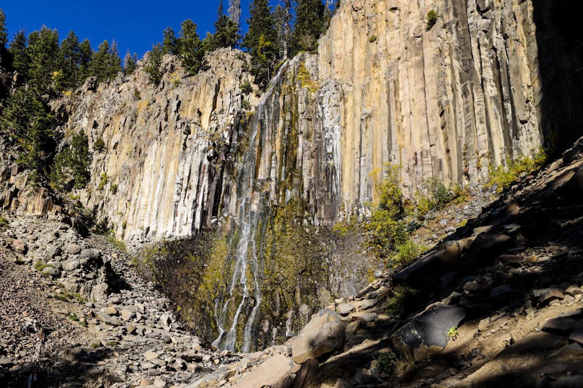
The falls were beautiful, though one person mentioned that the stream wasn’t very strong, which has been pretty common in a lot of places I’ve gone this summer and fall. Where the trail ends, you climb up rocks to get better views of the falls. You can get right up and touch the water, even though I chose to stay back a ways. The fall colors and the water were very relaxing. After catching my breath and snapping some pictures it was time to walk back down the trail…it was a lot easier going down.
I stopped by and took some pictures at the Hyalite Reservoir and then enjoyed the lovely drive out of the park.


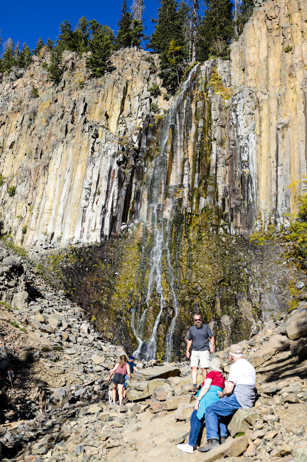
Palisade Falls


Palisade Falls

Palisade Falls

Palisade Falls

Palisade Falls


Palisade Falls
Palisade Falls

Hyalite Reservoir


Hyalite Reservoir